
Latest News
 Two Villages Art Society begins summer members show
 In echo of 2014 struggle, Market Basket board sidelines ‘Artie T.’ from CEO spot
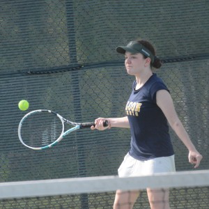 High schools: Bow girls’ tennis advances in tourney, Stark baseball beats MV, Kearsarge softball wins first games of the season; Wednesday’s results
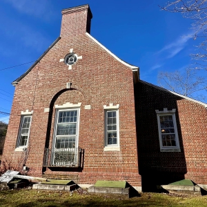 Historic former Boscawen library building on sale – again
 There has been rain on two-thirds of the days in May, and more on the way
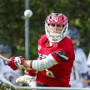 Boys’ Lacrosse: Bean reaches milestone in Coe-Brown win over BowBears eat Falcons in heavy hitters matchup, 13-3
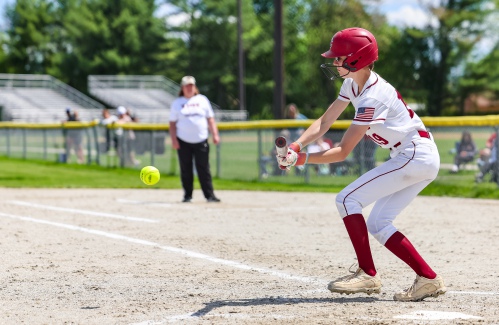
 High schools: Hillsboro-Deering sweeps Hopkinton; Tuesday’s baseball, softball, lacrosse and tournament tennis
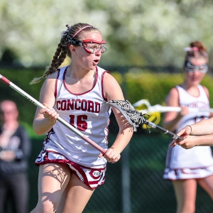 Athlete of the Week: Emma Pelletier, Concord High School

‘Bittersweet’: The Post on Main Street closes Friday
If you ask Joe Kwasnik and Bill Judd how long they’ve known each other, their answer starts with an “Oh gosh…,” a hand to the chin and a pause.
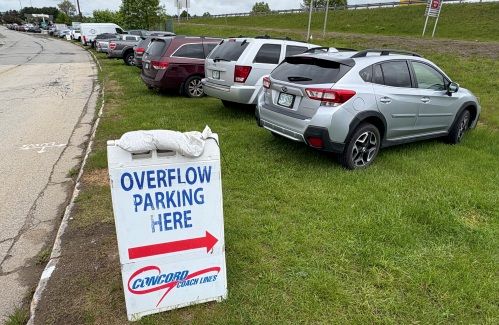
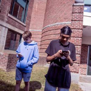
Messy parking around Concord’s bus terminal won’t get less messy any time soon
There’s one lesson to be learned from what is occasionally the most chaotic parking area in Concord: Sometimes it’s better to hand over your keys.
Most Read
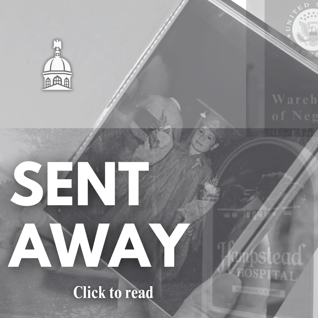
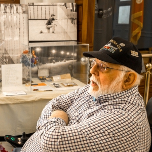
 ‘Would you raise your right hand?’ — Local veterans consider the meaning of Memorial Day
 Jesse Sullivan pleads guilty to second-degree murder of half-brother, Zackary
 ‘Bittersweet’: The Post on Main Street closes Friday
 Messy parking around Concord’s bus terminal won’t get less messy any time soon
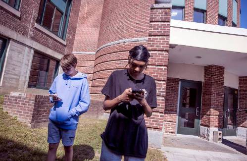
 New Hampshire school phone ban could be among strictest in the country
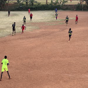 ‘Something to chase’: Pascal Zabayo’s art fundraiser grows soccer from Concord to Kampala, Uganda
Editors Picks
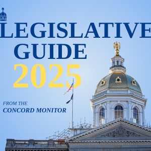 The Monitor’s guide to the New Hampshire legislature
 One year after UNH protest, new police body camera footage casts doubt on assault charges against students
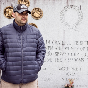
 ‘It’s always there’: 50 years after Vietnam War’s end, a Concord veteran recalls his work to honor those who fought
 ‘We honor your death’ – Arranging services for those who die while homeless in Concord

Sports
High schools: Concord softball falls on Senior Day; Stark, Brady baseball win on Memorial Day
Spaulding 6, Concord 5
 Track & field: Belmont’s Lacasse, Takantjas win four events each to lead Red Raiders to Wilderness League Championship title
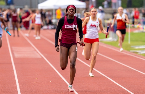 High schools: Final regular season track and tennis results; plus weekend baseball, softball and lacrosse
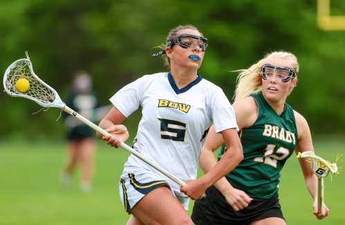 Girls’ lacrosse: Bow bounces back with 13-3 win over Bishop Brady
 High schools: John Stark’s Philibotte pitches shutout, hits game-winning RBI in 1-0 win, plus more results from Wednesday
Opinion

Opinion: How dark can it get?
Jonathan P. Baird lives in Wilmot.
 Opinion: Unfair taxes, unfair schools: The New Hampshire way
 Opinion: In the fight to stop sexual violence, can polio hold the solutions?
 Opinion: Where are the permanent solutions for a more stable budget?
 Opinion: My memories of Vietnam 50 years later

Your Daily Puzzles
An approachable redesign to a classic. Explore our "hints."
A quick daily flip. Finally, someone cracked the code on digital jigsaw puzzles.
Chess but with chaos: Every day is a unique, wacky board.
Word search but as a strategy game. Clearing the board feels really good.
Align the letters in just the right way to spell a word. And then more words.
Politics
New Hampshire school phone ban could be among strictest in the country
When Gov. Kelly Ayotte called on the state legislature to pass a school phone ban in January, the pivotal question wasn’t whether the widely popular policy would pass but how far it would go.
 Concord became a Housing Champion. Now, state lawmakers could eliminate the funding.
 ‘A wild accusation’: House votes to nix Child Advocate after Rep. suggests legislative interference
  Sununu decides he won’t run for Senate despite praise from Trump
 Town elections offer preview of citizenship voting rules being considered nationwide
e-Edition
Arts & Life

Artist Spotlight: Brittany Batchelder
With creativity abounding in the community around us, The Concord Insider, in collaboration with Concord Arts Market, highlights local artists on a regular basis.
 Young Professional of the Month Katie Duncan shares about creativity, community, connection
 Tiny Tapestry sale at Red River Theaters raising money for Concord Coalition to End Homelessness
 Bowling for a cause: Angelman Syndrome Fundraiser coming to Boutwell’s
 Beautify Allenstown hosting community cleanup day
Obituaries
 Gary G. Brassard
Franklin, NH - Gary G. Brassard, 73 of Franklin, NH left the planet on May 20, 2025. He was predeceased by his parents Amedee "Mickey" Brassard and Frances (Whitehead) Brassard. He is survived by his brother Frank A. Brassard and his wi... remainder of obit for Gary G. Brassard
 Ruth K. Sargent
Concord, NH - Ruth K. Sargent, 79, of Concord, formerly of Allenstown, passed away peacefully surrounded by her loving family on May 23, 2025. Born in Exeter, Ruth was the daughter of the late Dorothy May (Cowdrey) Lagor. She was ra... remainder of obit for Ruth K. Sargent
 Michael Cavic
Meredith, NH - Michael Cavic, 89, beloved father, grandfather, and great-grandfather, passed away peacefully on December 18, 2024, at the age of 89. Born on May 13, 1935, in Bedford, Massachusetts, Michael lived a life filled with love,... remainder of obit for Michael Cavic
 Albert R. Hagen
Concord, NH - Albert R. Hagen, age 97, of Cabernet Drive, Concord, NH, passed away peacefully with his family by his side at his home on Monday, May 26th, 2025. Born in Braintree, MA, the son of the late Albert R. and Umbelina (Govo... remainder of obit for Albert R. Hagen