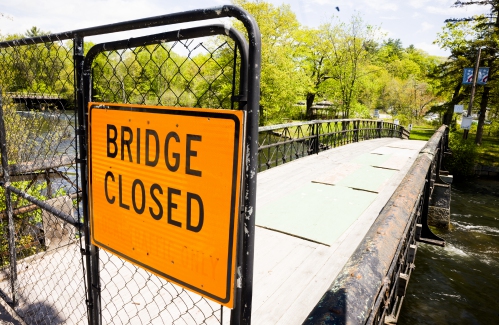
Historic Tilton Island Park Bridge will be reopened unless Trump takes back a federal grant
The historic Tilton Island Bridge is on track to get repaired after being shut for five years unless the Trump administration decides to yank back a federal grant.
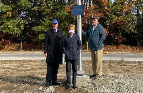
Lyman Cousens, champion of community causes in Boscawen and Concord, dies at 87
The first time Doris Cousens met the man who would become her husband, she didn’t like him.
Most Read
 ‘I thought we had some more time’ – Coping with the murder-suicide of a young Pembroke mother and son
 Owners of Lewis Farm prepare to bring back agritourism after long dispute with city of Concord
 ‘Folks who use it should pay for it’ — City manager proposes clubhouse plan with smaller tax impact
 Who would invest in movie theaters these days? These folks
 The Appalachian Trail in New Hampshire just got easier, as another debate looms over replacing structures in wilderness areas
 Concord stargazer puzzled over unidentified flying object
Editors Picks
 The Monitor’s guide to the New Hampshire legislature
 One year after UNH protest, new police body camera footage casts doubt on assault charges against students
 ‘It’s always there’: 50 years after Vietnam War’s end, a Concord veteran recalls his work to honor those who fought
 ‘We honor your death’ – Arranging services for those who die while homeless in Concord
Sports

High schools: Concord girls win elite Merrimack Invitational, MV track sweeps senior day, Winnisquam’s Caruso wins 175th career victory, more results from Thursday
Concord 1st, Coe-Brown 5th
 High schools: Tuesday’s baseball, softball, lax, tennis and track results
 Baseball: Syvertson suits up for CCA in narrow win over Franklin
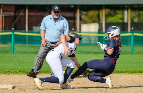 High schools: Monday’s softball, baseball, lax, tennis and track results
Opinion

Opinion: Where are the permanent solutions for a more stable budget?
Scott Metzger lives in Hopkinton.
 Opinion: My memories of Vietnam 50 years later
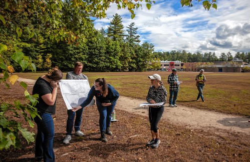 Opinion: Concord officials: Can we sit and talk?
 Opinion: Trump versus the U.S. Constitution
 Opinion: Protect our winters!

Your Daily Puzzles

An approachable redesign to a classic. Explore our "hints."

A quick daily flip. Finally, someone cracked the code on digital jigsaw puzzles.

Chess but with chaos: Every day is a unique, wacky board.

Word search but as a strategy game. Clearing the board feels really good.

Align the letters in just the right way to spell a word. And then more words.
Politics
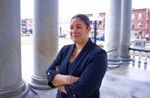
‘A wild accusation’: House votes to nix Child Advocate after Rep. suggests legislative interference
Rosemarie Rung thinks of Elijah Lewis often.
 Sununu decides he won’t run for Senate despite praise from Trump
Arts & Life

Young Professional of the Month Katie Duncan shares about creativity, community, connection
Meet Katie Duncan, Membership Manager and Educational Outreach Coordinator at the Capitol Center for the Arts. The 35-year old Concord resident’s passion for the arts and the Concord community shines through her work. From theater stages to local lakes, Katie shares how growing up in Greater Concord shaped her path—and why she’s dedicated to giving back.
 Tiny Tapestry sale at Red River Theaters raising money for Concord Coalition to End Homelessness
 Bowling for a cause: Angelman Syndrome Fundraiser coming to Boutwell’s
 Beautify Allenstown hosting community cleanup day
 Donating “The Bibliophile”
Obituaries
 Gary Clayton Bedell
Pittsburg, NH - Gary Clayton Bedell, 88, of Pittsburg, NH, passed away peacefully on April 29, 2025, after a lengthy illness, surrounded by his loving family. Born on November 27, 1936, in Lancaster, NH he was the son of the late Cl... remainder of obit for Gary Clayton Bedell
 Frederick T. Ford
Tilton, NH - Frederick "Fred" T. Ford, 87 of Tilton, NH, passed away on Thursday, May 8, 2025, surrounded by his loving family. Born on June 10, 1937, in Jersey City, New Jersey, to the late Frederick V. and Margaret (McNally) Ford. He ... remainder of obit for Frederick T. Ford
 Todd Alan Miller
Penacook, NH - Todd Alan Miller, 61, passed away peacefully at home on April 26th, 2025. He was the beloved son of Donald and Joyce Miller, and a devoted father, grandfather, brother, and friend. Todd graduated from Merrimack Valley Hi... remainder of obit for Todd Alan Miller
 Joseph Kimball LaBonte
Loudon, NH - It is with heavy hearts that we announce the passing of our brother Joseph Kimball LaBonte, 76, on 1/25/25 at Central Valley Medical Center, Nephi, Utah, after a short period of failing health. He was born 12/2/1948 in Con... remainder of obit for Joseph Kimball LaBonte


 Fentanyl, car inspections and parents’ rights: What to look for in the State House this week
 As Canadian travel to the U.S. falls, North Country businesses are eyeing this Victoria Day weekend to predict impacts in New Hampshire
 High schools: Pelletier scores 100th goal, leads Concord girls’ lax to first win; baseball, softball, boys’ lacrosse and track results from this weekend
 Five former Concord Crush girls at St. Paul’s are soon to leave the nest to play NCAA Women’s Lacrosse
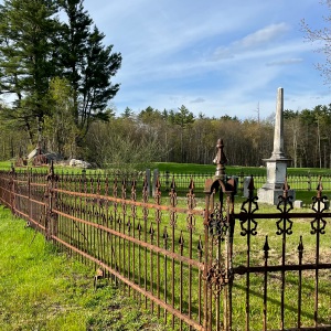 Vintage Views: Our very old graves
 Opinion: In the fight to stop sexual violence, can polio hold the solutions?
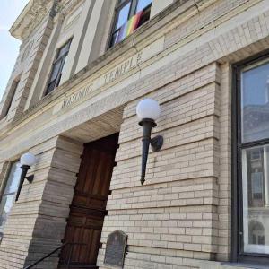 ‘Like going back in time’: Old homes, a train, and a temple added to state historic register
 Boys’ tennis: Growing the sport, fun and pizza for a tight-knit Concord team on Senior Night

 High schools: Wednesday’s baseball, softball, lacrosse, tennis and track results
 Town elections offer preview of citizenship voting rules being considered nationwide
 Medical aid in dying, education funding, transgender issues: What to look for in the State House this week
 On the Trail: Shaheen’s retirement sparks a competitive NH Senate race
